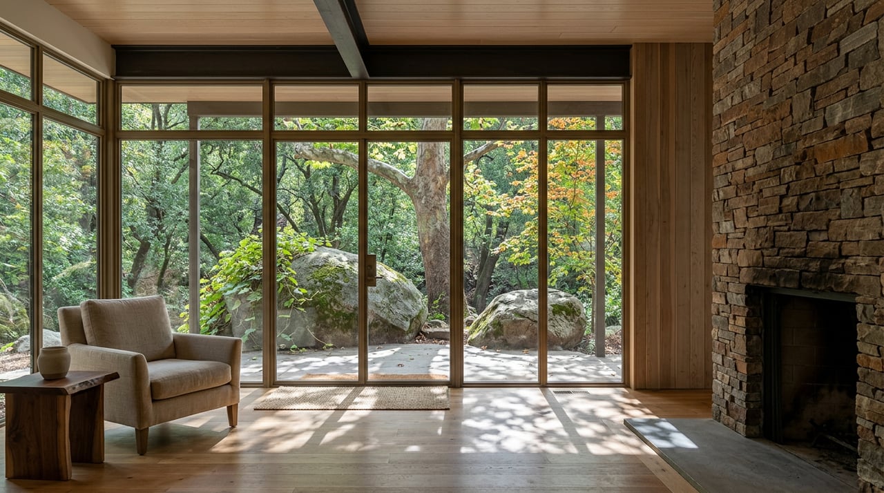
What’s Different in Oak Creek Canyon This Fall After the Pocket Fire
August 13, 2026
August 13, 2026
The fire that shut down Oak Creek Canyon for nearly a month this summer never burned closer than six miles to Sedona itself, and it has been out since mid-July. That distinction got lost all summer, and it matters for anyone trying to figure out what the canyon actually looks like right now. The Pocket Fire is not the thing keeping Slide Rock's swim area closed into October. The water is. And a separate, unrelated highway project has picked exactly the wrong month to land on top of an already disrupted season.
Sedona proper covers about 23.6 square miles. The area most people mean when they say "Sedona," including Oak Creek Canyon, the Village of Oak Creek, and the Red Rock Loop corridor, runs closer to 300 to 400 square miles. National and state coverage of the Pocket Fire kept describing it as burning "near Sedona," which was technically true and functionally misleading, since the fire's closest approach to Sedona proper was six miles. That framing did real damage. Sedona's own reporting noted that the geographic mix-up dented visitor confidence even though the fire never threatened the town itself, only the canyon corridor and the more remote area around Seven Canyons and Enchantment Resort.
The sequence explains why the canyon still feels different in August than it did before June 19, even though the fire is out.
| Date | What happened |
|---|---|
| June 19, 2026 | Pocket Fire ignites roughly 7 miles north of Sedona; GO evacuation order issued for Oak Creek Canyon that evening |
| June 23, 2026 | Evacuation status lowered to SET; residents allowed back with proof of residency, SR 89A still closed to through traffic |
| Late June to early July | Fire grows past 27,000 acres; containment climbs through the 50 to 70 percent range |
| July 13, 2026 | ADOT reopens SR 89A between Sedona and I-17 after nearly a month closed |
| July 14, 2026 | Fire declared effectively contained after 28 days |
| July 15-17, 2026 | A major monsoon storm extinguishes remaining hot spots and floods the canyon's tributaries |
| July 17, 2026 | Slide Rock's swim area closes after ash and debris from the burn scar wash into Oak Creek |
| August 1, 2026 | Arizona State Parks extends the swim closure through the end of September |
The same storm that put the fire out is what closed the swimming hole. Sedona Red Rock News reported that the fire burned the northwestern portion of West Fork, and when the monsoon rains hit on July 15 through 17, they flushed weeks of ash and burned material out of that drainage and down into Oak Creek. Arizona State Parks and Trails confirmed that the resulting sediment and organic matter degraded water quality enough, combined with ongoing flash flood risk through monsoon season, that they extended the closure through the end of September, with the park's own site listing October 1 as the reopening target.
That means the swim closure will run longer than the fire did. The fire burned for 28 days. The highway was closed for about the same stretch. The creek itself will have been off limits to swimmers for close to eleven weeks by the time it reopens, hiking and picnicking excepted the entire time, including access to the Clifftop Nature Trail.
If you're headed up the canyon for a picnic or a short hike while the swim area stays closed, remember that Slide Rock changed how it handles a full parking lot back in May, well before any of this. The old one-out-one-in system on Highway 89A is gone. Once the 156-space lot fills, the gate closes and stays closed until enough vehicles leave to open it again, sometimes for hours. Park manager Sam Axford's message to visitors has been consistent all season: get there at opening, and have a plan B.
If the fire and the creek closure weren't enough, ADOT has scheduled full daytime closures of SR 89A between the switchbacks and Oak Creek Vista, mileposts 387 to 390, running 6 a.m. to 5 p.m. from Monday, August 19 through Friday, August 23. This is a previously planned guardrail improvement project, not related to fire recovery, but the timing puts it right in the middle of the canyon's slow climb back to normal. Northbound Sedona-to-Flagstaff traffic will detour via SR 179 to I-17, and southbound traffic will reverse that route. The road reopens to single-lane alternating traffic overnight, from 5 p.m. to 6 a.m., with a temporary signal directing cars through the work zone.
West Fork of Oak Creek, the trail most people mean when they talk about Sedona fall color, sits in the same drainage where the fire burned and where the ash that closed Slide Rock originated. That doesn't mean the trail is closed. It means anyone planning to build an October weekend around it should check current Forest Service status before committing, since this stretch of the canyon has had a more eventful summer than most.
Assuming conditions hold, the usual crowd math still applies. Parking at the Call of the Canyon trailhead has historically filled by 7:30 to 9 a.m. on October Saturdays during peak color, and the $11 per vehicle Forest Service fee applies regardless. If you want the maples without the crowd, a few alternatives are worth knowing:
Peak color typically runs mid to late October into early November, and weekday visits still beat weekends for parking and pace.
The fire caused almost no physical damage to Oak Creek Canyon itself. The economic damage was real. Coconino County's sampling of canyon businesses between June 19 and July 7 found combined losses of $743,000, and the county has since applied for the state's Economic Injury Disaster Loan program. Sedona Red Rock News described most of these operations plainly: single-proprietor restaurants, motels, and shops running on summer income they need to carry them into fall, not businesses with reserves to absorb a month without through traffic. The newly formed Red Rock Recovery Fund received a $25,000 gift from the Stevenson family to help bridge the gap.
If you live in or near the canyon, the simplest thing you can do this fall is the thing you'd probably do anyway: stop at the places you already know on your way up or down 89A. They lost the better part of a month of business through no fault of their own, and they're still working through the aftermath while the road construction adds one more disruption on top.
The canyon is open. The fire is out. What's actually different this year is downstream, in the creek, and it's worth knowing before you plan your next drive up 89A.
Whether you're weighing a fall hike around the closures or thinking longer term about property in Oak Creek Canyon, Kris Anderson and the team stay close to exactly this kind of on-the-ground detail. If you're curious what any of this means for a home you own in the canyon, reach out for a Get Your Confidential Home Valuation.
Embrace a Lifestyle of Natural Beauty, Spiritual Energy, and Artistic Inspiration in Red Rock Country.
At ILoveSedonaRealEstate, we’re committed to making every step of your real estate experience seamless and rewarding. Contact us today to discover how our local expertise and tailored service can help you achieve your real estate goals.